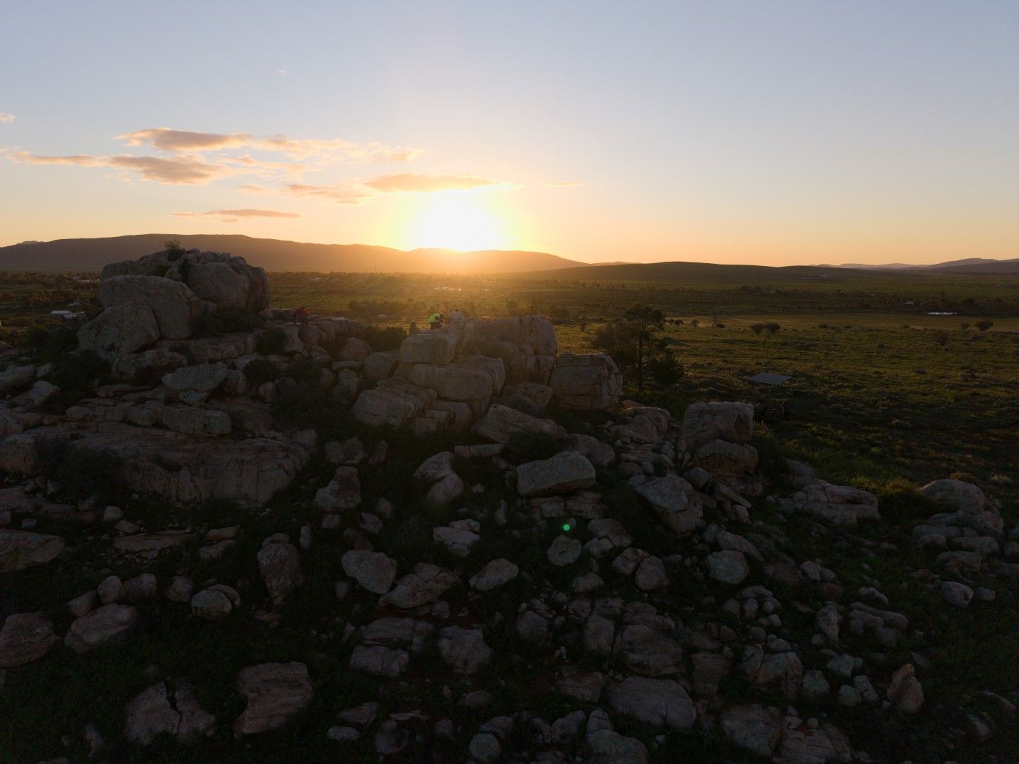
Planetary Geology Field Week, Arkaroola 2026
Rock Wallaby 1
Trip diary, part 1 of 3: Plan B in Hawker
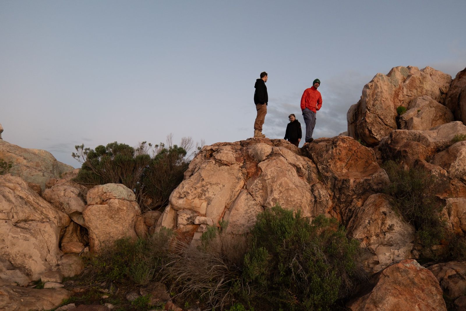
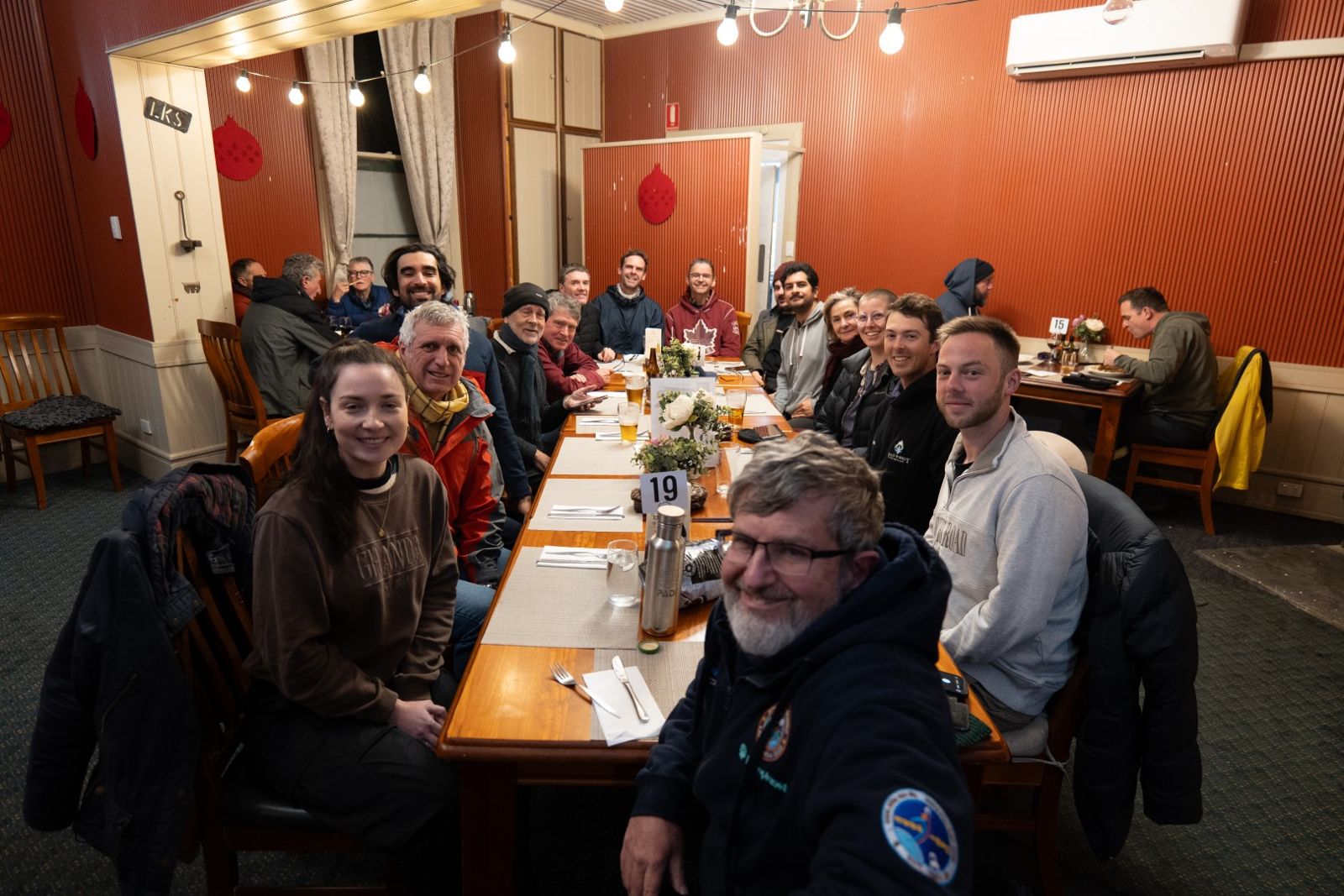
Photo: RW1 team
In August, fifteen of us set off from Adelaide for the first Planetary Geology Field Week, which we nicknamed Rock Wallaby 1. The idea was to spend the week around Arkaroola in the northern Flinders Ranges, looking at some very old rocks and talking about what they can teach us about reading the rocks of Mars.
The weather had other plans, and we ended up spending the first half of the trip in Hawker waiting for the creeks to go down. This is the diary we kept as we went. It's been tidied up a little, but it's pretty much how things happened.
The trip took place on Adnyamathanha country, and we thank the Adnyamathanha people for having us.
A wet start, and every road north closed
An early start in Adelaide, loading gear into our four 4WDs on a wet and blustery morning. We were on the road by 7:30, heading north across the Adelaide Plains and up through Clare and Orroroo to Hawker, where the big folded ridges of the Flinders Ranges start to appear.
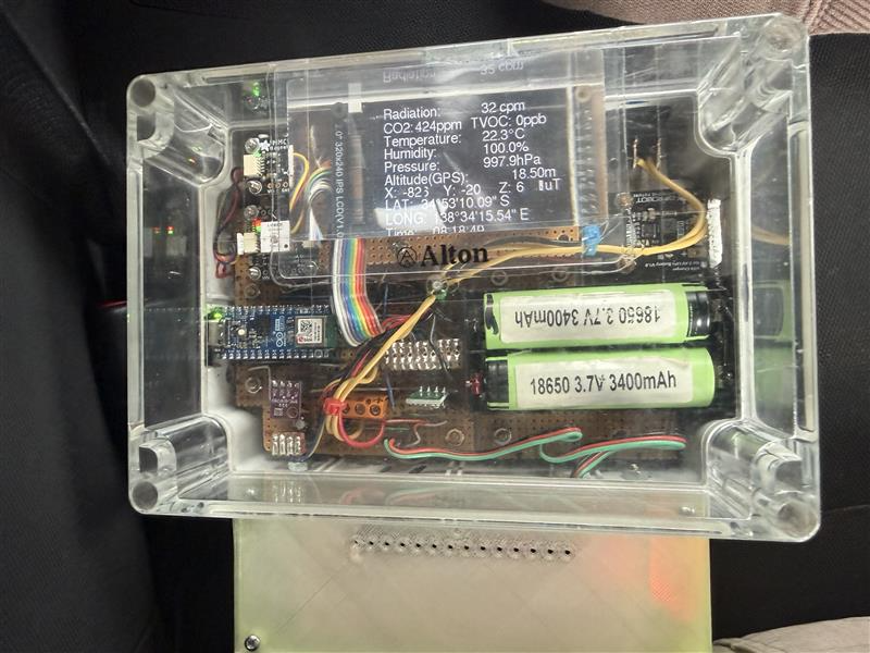
Andrew Wheeler switched his radiation detector on as we left, and it quietly logged data for most of the trip.
As we got closer to Hawker the rain really set in. At times it was so heavy we could barely see the road ahead, water was starting to pond on the bitumen and the creek crossings were beginning to run.
We pulled into Hawker for lunch in pouring rain and heard the news: every road north of town was closed because of flooded creeks.
The town had lost power, with only a few businesses running on their own generators, and a lot of travellers suddenly needed somewhere to stay. Annalea went straight to the Hawker Hotel and got in before the rush. That quick decision really saved the day. We ended up with five rooms and a bed for all fifteen of us.
It looked like we'd be there for a while, so began Plan B. Jon got it under way that evening with an impromptu talk on the geological history of the Flinders Ranges.
Quorn, Pichi Richi Pass and a creek bed
Overnight the hotel managed to get hold of a generator from Port Augusta, and electricians had it connected by the morning. The pub had power again, even if most of the town was still in the dark.
We kept checking the Department for Infrastructure and Transport (DIT) website and chatting with road crews as they got organised. Every road north was still closed to all traffic. The odd traveller was coming through from the north, but nobody had made it down from Leigh Creek. So we decided to stay local for the day, not that we had much choice.
The word from Steve Hore and the staff at Arkaroola didn't make us very hopeful about leaving the next day either. The creeks around the village were so high they hadn't been able to get out and inspect their own roads and tracks yet, and they had a full house of caravanners and campers who weren't going anywhere.
We all headed into Quorn for a look around, then went on to a geology site near Pichi Richi Pass, where the old railway line runs along a rocky valley.
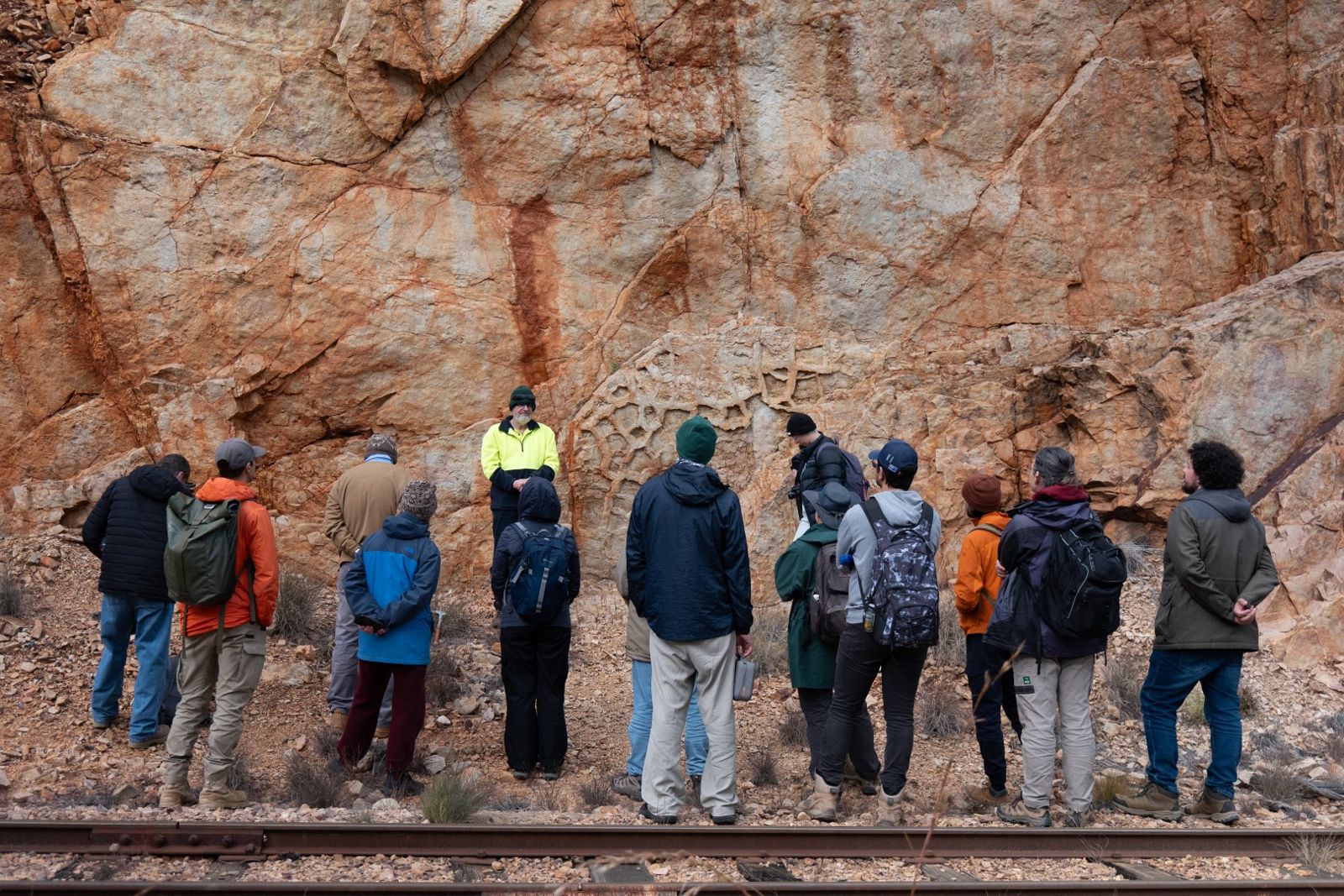
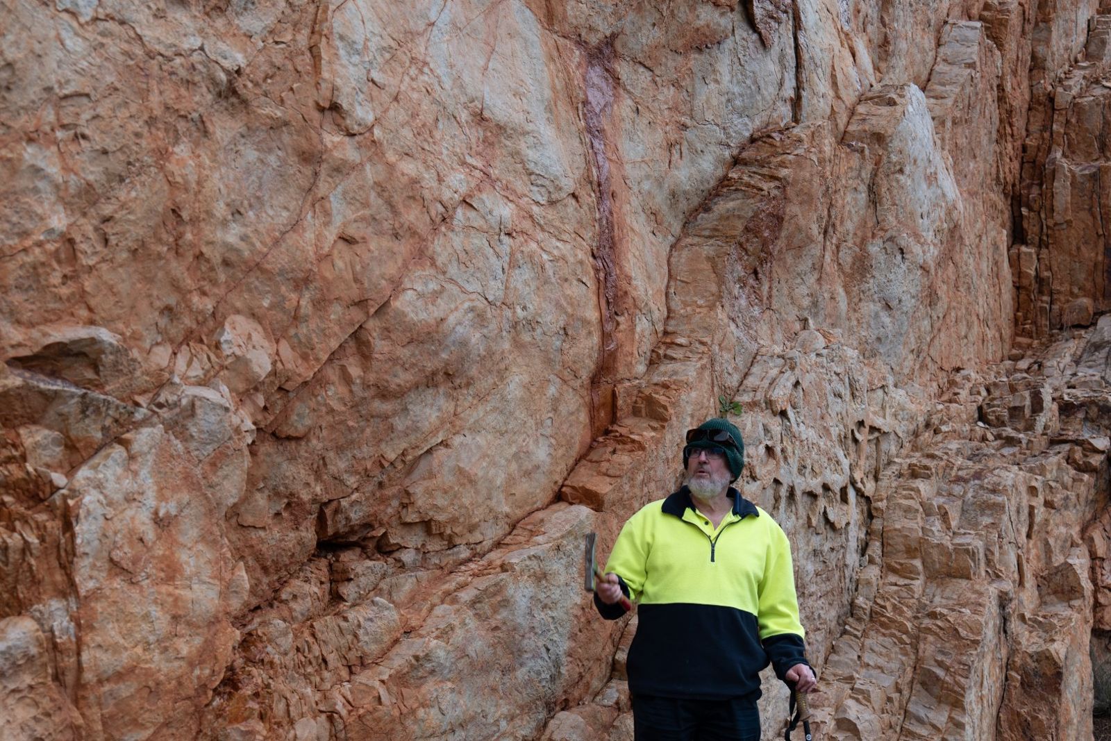
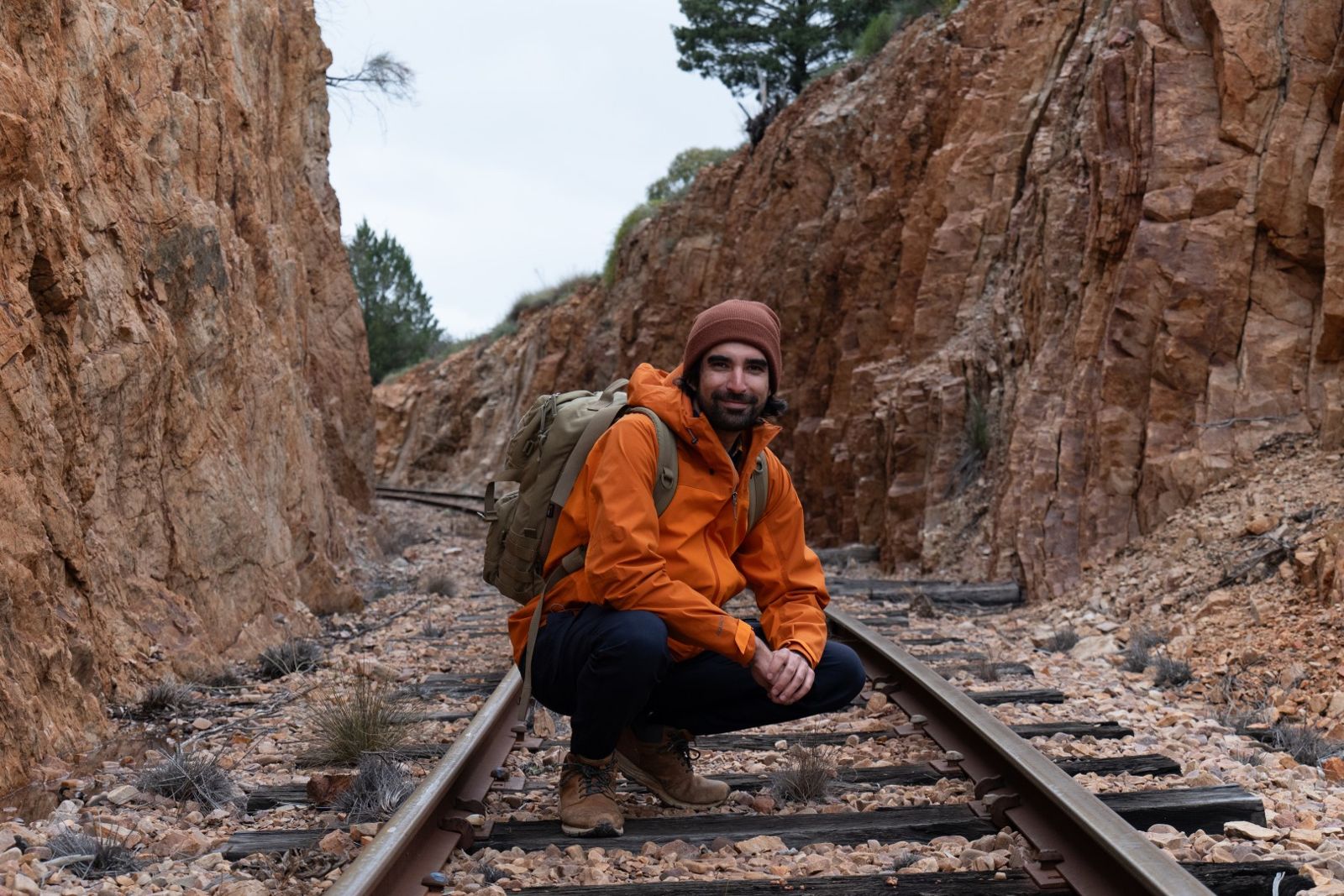
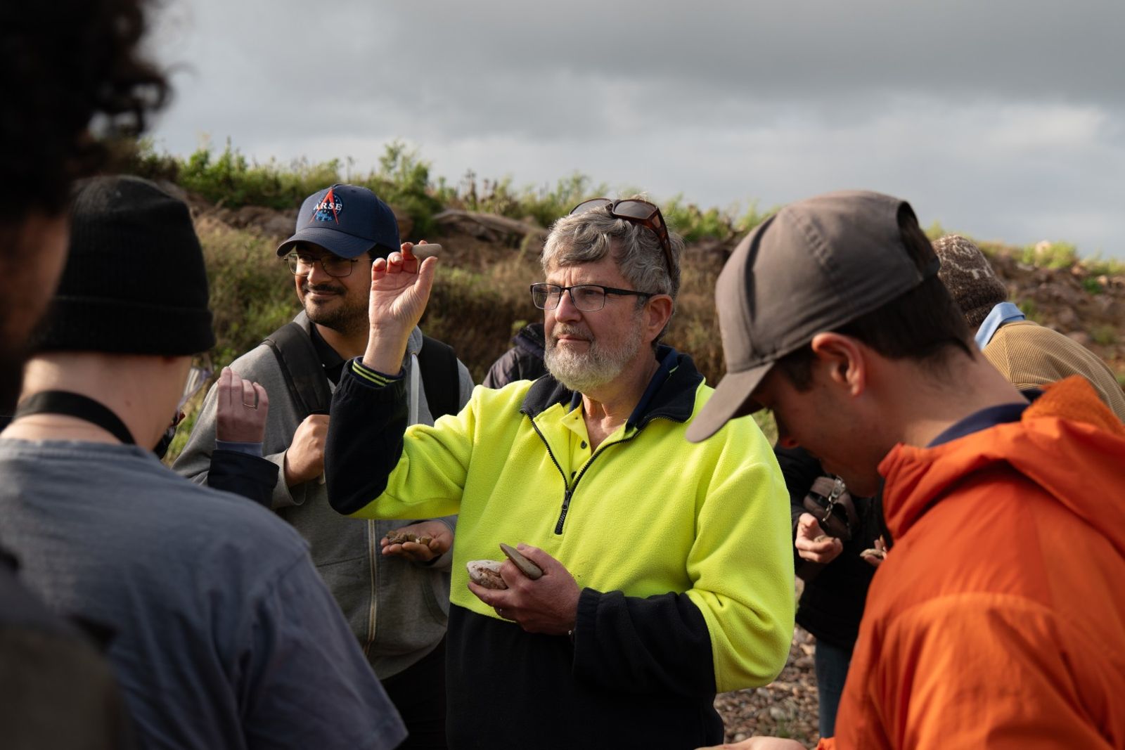
On the way back we stopped at a creek bed for a rock-selecting exercise, the same kind of thing the Apollo astronauts did to get ready for their geology work on the Moon.
After dinner Annalea led a session thinking about the future of humans on Mars.
Last check of the DIT site before bed: no change. Road crews were out working along the Outback Highway and through the central Flinders road network towards Blinman.
Wilpena Pound from the outside
The roads north from Hawker were still closed, although the tracks around Arkaroola had opened for 4WDs. That was something.
Plan B carried on. We drove out to Wilpena Pound, stopping on the way to take in its outer walls and the hilly country around them, while Jon showed us how to read the huge folds in the landscape. We also stopped to confuse a group of passing emus.
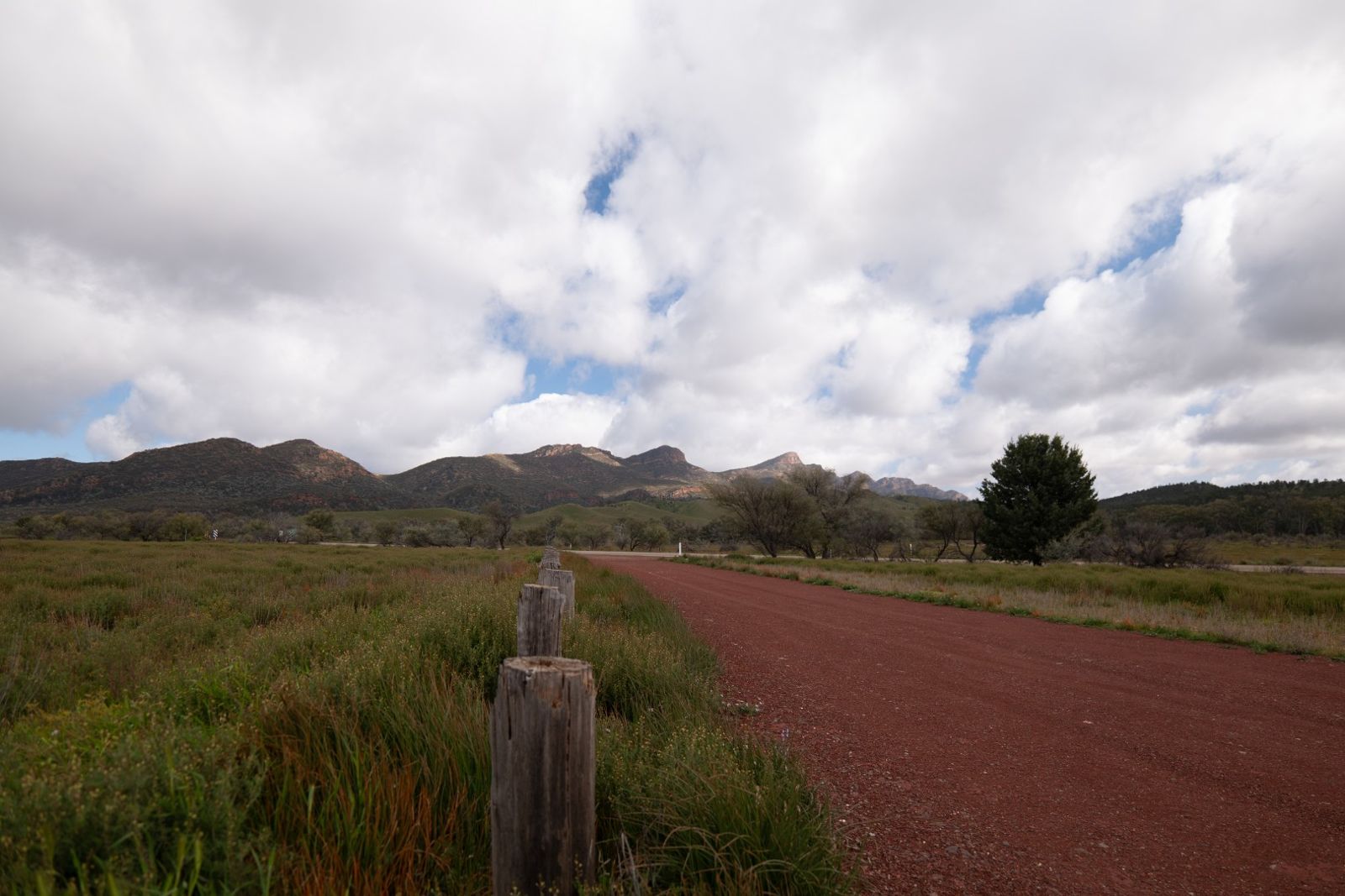
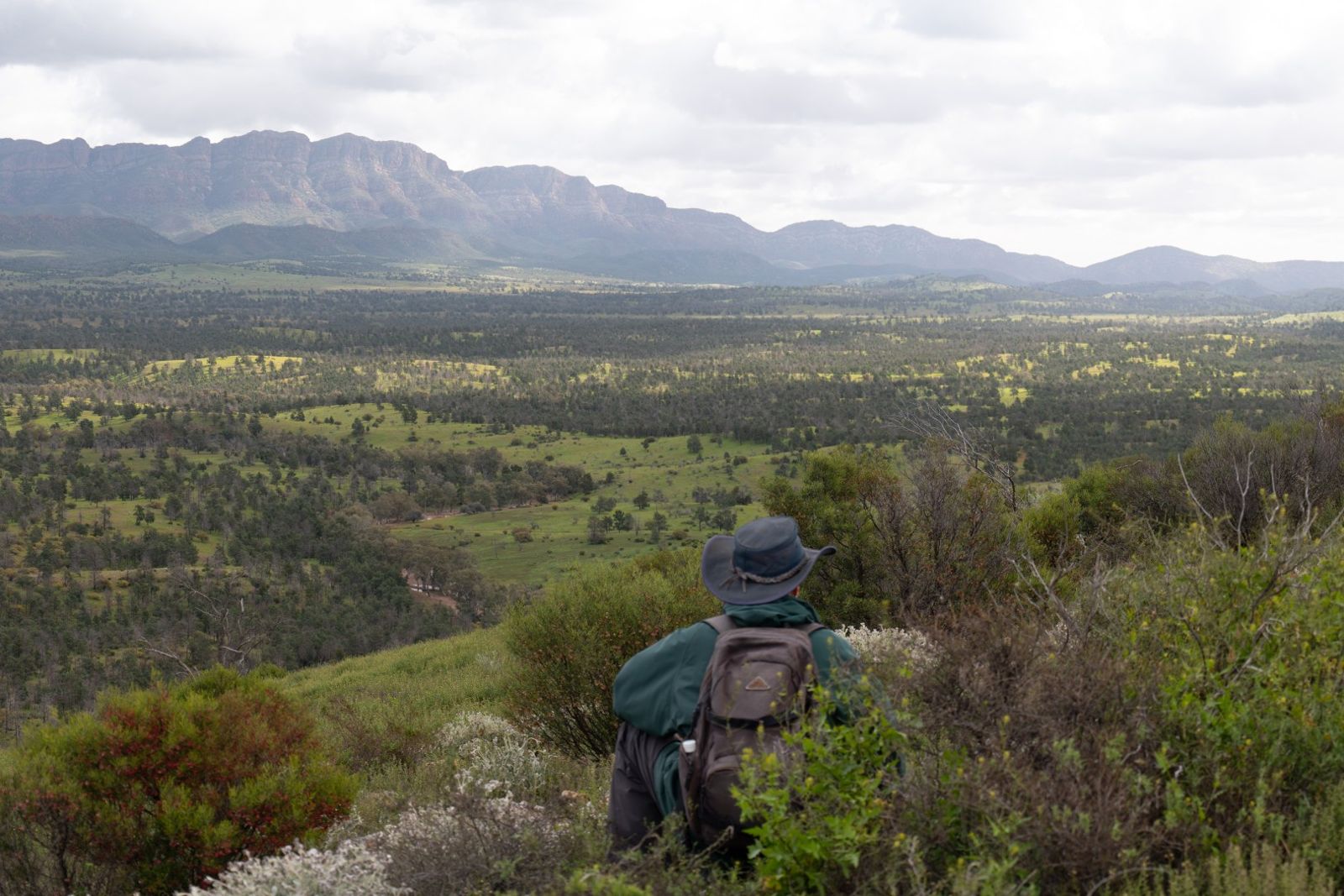
When we got there, the high creeks meant Parks had closed the walking tracks at Wilpena, so we couldn't wander around. Instead, on the way back to Hawker we tried a ridgeline walk at Rawnsley Park Station, which had much better views than any of us expected.
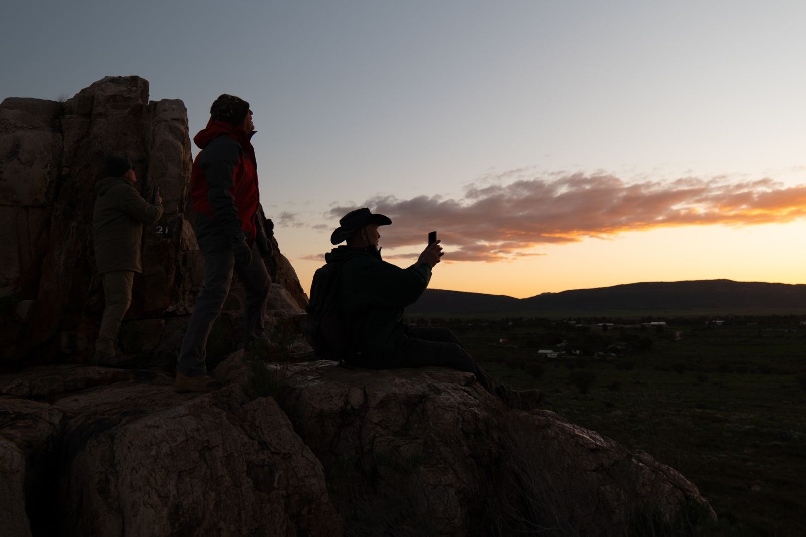
In the evening we walked to the edge of town and watched the sunset from Castle Rock Lookout.